

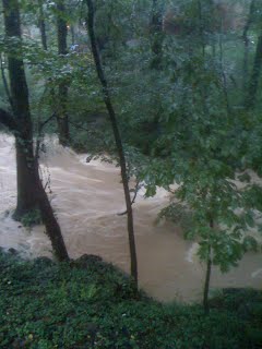
My backyard of Peachtree Creek in DeKalb County, Georgia in 2007.
ATLANTA – The Federal Emergency Management Agency (FEMA) has been working with county and municipal governments over the last several years to incorporate the best available data into new flood maps.
The ultimate goal of the maps is to protect property owners and communities by showing the extent of flood risk in their areas. Flood maps also help to determine flood insurance rating and building requirements.
New flood maps and preliminary data provides the public an early look at their home or community’s projected flood risk. “FEMA is in the process of updating Flood Maps in every state,” says Bryan Baumann, senior mapping analyst at Second Look Flood. “Each year, thousands of homeowners that are wrongly placed in the high-risk flood zone, and those that should be there might not have adequate coverage when a flood does occur. Everyone should know about these updates.”
Regardless of flood zone, everyone should take steps to financially protect themselves from a flood disaster which affects far too many communities each year. The primary way to do this is by purchasing flood insurance. Since standard homeowner’s, business owner’s, and renter’s insurance doesn’t cover flood damage, flood insurance is an important consideration for everyone. via http://www.webwire.com/ViewPressRel.asp?aId=175166#.UcX17jvVD8k
Is your home in the new FEMA flood map? Are you required to buy insurance? If you think the new maps could be wrong, give us call. We can offer cost effective solutions. Please email richard@whitlockengineeringgroup[dot]com

No comments yet.